File:Toronto Transit Commission route 125 map (10-2018).gif
Jump to navigation
Jump to search

Size of this preview: 360 × 599 pixels. Other resolution: 575 × 956 pixels.
Original file (575 × 956 pixels, file size: 38 KB, MIME type: image/gif)
Summary
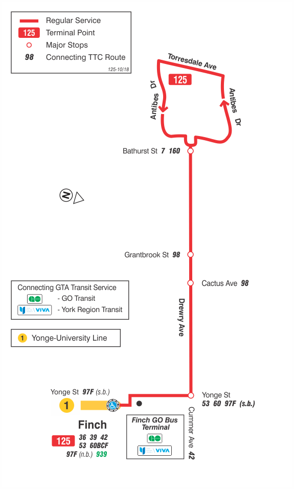
TTC route 125 map as of October 2018.
File history
Click on a date/time to view the file as it appeared at that time.
| Date/Time | Thumbnail | Dimensions | User | Comment | |
|---|---|---|---|---|---|
| current | 14:16, 30 September 2020 | | 575 × 956 (38 KB) | Enzo Aquarius (talk | contribs) | TTC route 125 map as of October 2018. |
You cannot overwrite this file.
File usage
The following page uses this file:
.gif&oldid=504003)