File:York Region Transit route 31 map (2010).PNG
Jump to navigation
Jump to search

No higher resolution available.
York_Region_Transit_route_31_map_(2010).PNG (395 × 228 pixels, file size: 75 KB, MIME type: image/png)
Summary
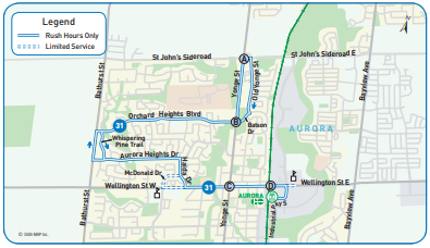
YRT route 31 map as of 2010.
File history
Click on a date/time to view the file as it appeared at that time.
| Date/Time | Thumbnail | Dimensions | User | Comment | |
|---|---|---|---|---|---|
| current | 14:50, 31 October 2020 | | 395 × 228 (75 KB) | Enzo Aquarius (talk | contribs) | YRT route 31 map as of 2010. |
You cannot overwrite this file.
File usage
The following page uses this file:
.PNG&oldid=509925)